Throughout history, maps have played a pivotal role in understanding our world, guiding exploration and shaping our perception of the places we inhabit. They have been instrumental in navigating vast landscapes, charting trade routes, and visualizing the rise and fall of empires.
Today, as we face unprecedented challenges and opportunities, maps continue to evolve, serving as powerful tools for shaping a sustainable and equitable future. By harnessing the power of geospatial data and advanced technologies, we can create maps that not only reflect our world but also actively guide us towards a better one.
Mapping the Challenges We Face
In an increasingly interconnected world, we are confronted with a myriad of complex challenges that transcend borders and affect our planet's health and well-being. Climate change, urbanization, resource scarcity, and global health crises are just a few of the issues that demand our attention and collective action.
Maps can play a crucial role in understanding the spatial dimensions of these challenges. By visualizing the distribution of greenhouse gas emissions, population density, and resource depletion, we can identify areas of vulnerability and prioritize interventions. Maps can also help us track the spread of diseases, enabling effective outbreak control and resource allocation.
Visualizing Sustainable Solutions
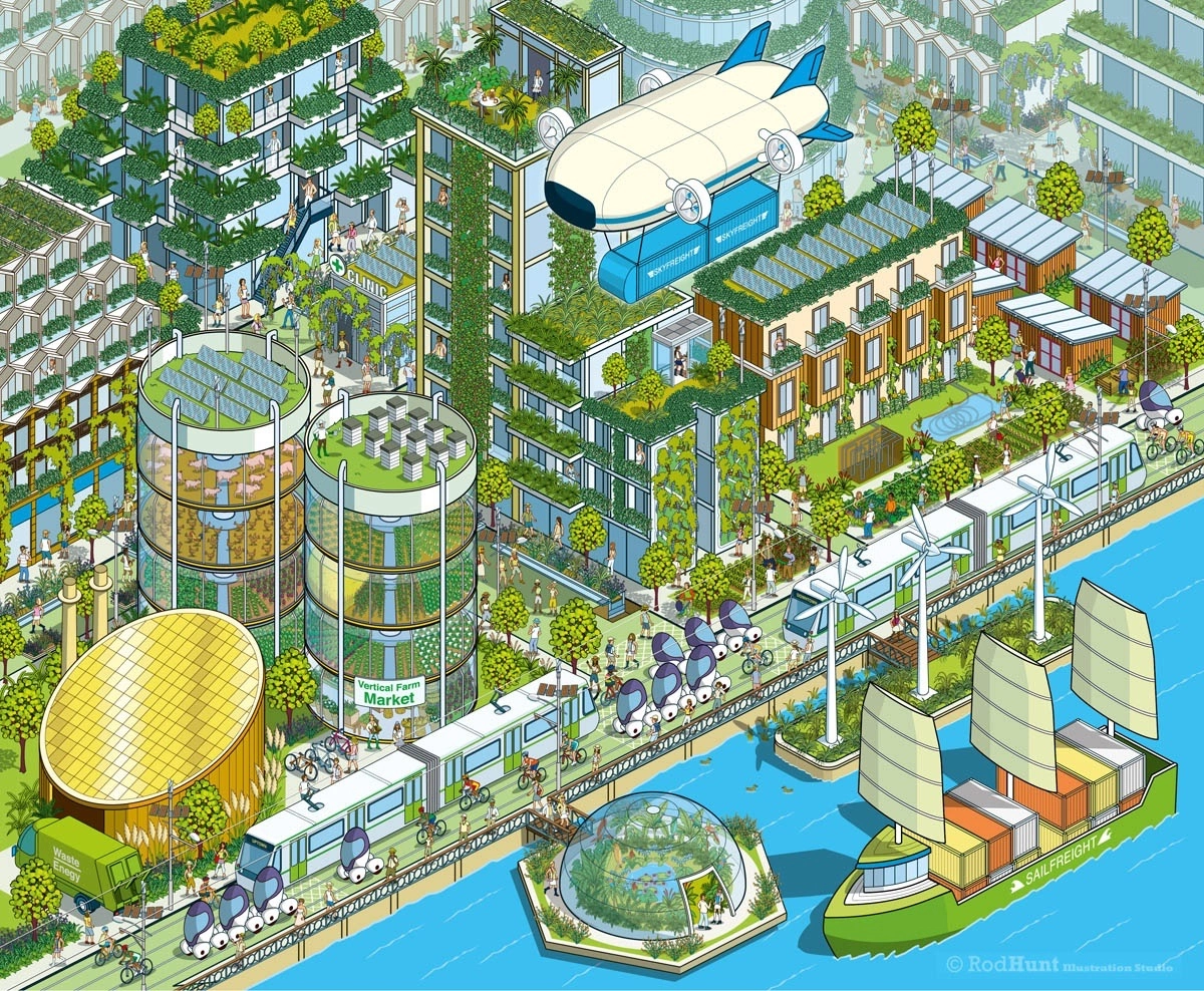
As we strive to address these global challenges, maps can help us envision and implement sustainable solutions. By mapping renewable energy potential, sustainable transportation networks, and areas suitable for conservation, we can make informed decisions that minimize our impact on the environment and promote a more equitable distribution of resources.
Maps can also be used to engage communities in planning and decision-making processes, ensuring that sustainable development strategies reflect the needs and aspirations of local populations. By incorporating local knowledge and perspectives, we can create maps that are not only accurate but also socially relevant.
Powering Innovation with Geospatial Data
The evolution of mapping is driven by advancements in geospatial data collection and analysis. Satellites, drones, and sensor networks are continuously generating vast amounts of data, providing a detailed and dynamic picture of our planet.
This wealth of data can be harnessed to create maps that are not only visually stunning but also highly informative. By combining geospatial data with statistical analysis and predictive modeling, we can map future trends, identify potential risks, and develop proactive strategies for adaptation and mitigation.
Empowering Communities with Spatial Literacy
Maps are not just tools for experts and policymakers; they can empower communities by fostering spatial literacy. By understanding how to read and interpret maps, individuals can gain a deeper understanding of their surroundings, make informed decisions about their lives, and participate more effectively in local planning and governance.
Spatial literacy can also promote civic engagement and social cohesion. By visualizing the distribution of resources, infrastructure, and opportunities, maps can help communities identify disparities and advocate for equitable access to essential services.
Conclusion: Maps as Guides to a Brighter Future
As we navigate the complexities of the 21st century, maps can serve as invaluable guides, providing insights, informing decisions, and empowering communities. By harnessing the power of geospatial data and advanced technologies, we can create maps that not only reflect our world but also actively shape our future.
By embracing the transformative potential of maps, we can work towards a world that is sustainable, equitable, and resilient, ensuring a brighter future for generations to come.


